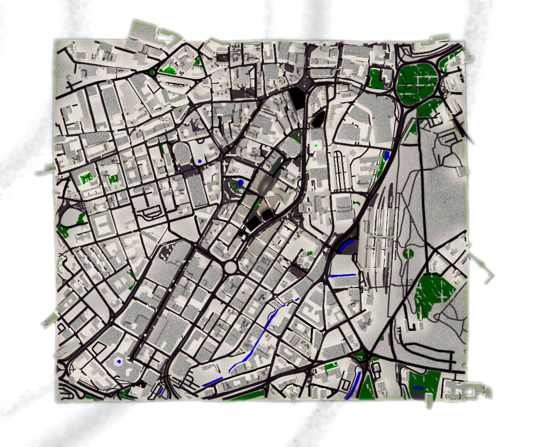
I’ve been asked by a few people just how big this city model is, and which range it covers – so decided to render a full top-view of the map, so people can see the region I’m working on.
The dark buildings are buildings I’ve started working on to some degree.
To give a sense of perspective, St. Pauls Tower is the centre-most building, and you can clearly see just how much more work I have to do.
If you are in the Sheffield area, and are looking to help out with this mammoth project, you can register an account on here, and once I’ve validated that you are a real person and not a spammer – I can set your status to Contributor, which will allow access to a team-management system I’ve installed – and I’ll also set you up with commit/push access on Github.
Currently, I’ve no idea how I’m going to manage and organise a team – this is a labour of love project I’m doing in my free time: so some self-motivation on your part is a must.
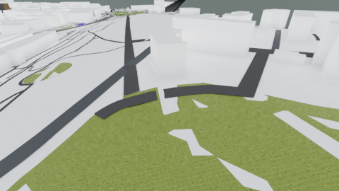
While on the subject of layout – I’ve retextured the pedestrian areas to use some of the photographs I’d taken of the ground the other day.
I did take some more today, along with Mecca Bingo reference photos, but alas:
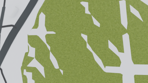
I have been experimenting with some of the grass textures from Blenderkit, but found them to inflate the filesize to be too large, so will be continuing with UV: though this is definitely not the end of my foray into this tool: particularly for uploading my urban environment textures into the community, as well as pooling resources of talented artists.


Recent Comments